ACCOMPLISHED!
The rway community project aims to promote rights of ways through learning, discovery, heritage, art, imagery, stories or anything the community associates with or nearby a route. Increased awareness may influence travel choices and enhance appreciation of the local area.
The rway project aims to support and simplify the evidence and applications which have to be initiated by communities. As of 17th February 2022, it has been announced that a 2026 deadline to have rights of way registered has not been abolished; though the principles still apply, just without a deadline.
The project focus is around preserving access to ways that presently used, though any claims may be highlighted just for interest and recover memories. Please also see Ramblers’ Don’t Lose Your Way which often has a focus on unused/unclaimed ways.

Walks
No rights of way specific walks scheduled, but check out what else is on…

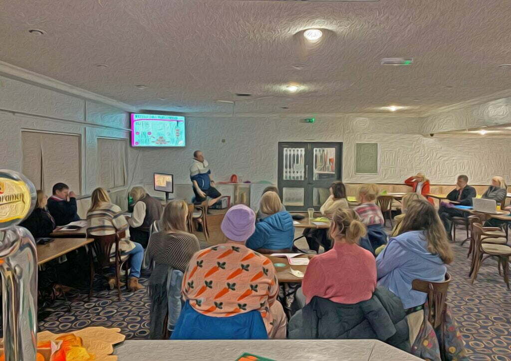
Workshop
None scheduled as yet, please get in touch to arrange one.
Topics :
- Public Rights of Way
- Old Maps
- Walking/Running Routes
- Local Heritage Self Research
Kickstart
The project was kickstart funded in December 2021 by Hey Neighbour (Leeds Community Foundation | Forum Central | Voluntary Action Leeds) under the umbrella of Farsley Community Initiative using the experience and voluntary led time of Running Seeds/Richard Warren.
The initial focus is to discover which approaches are effective in the community – starting with wards Bramley & Stanningley, Calverley & Farsley and Pudsey. Workshops and walks will progress from January 2022 including continuous development of this website. Support, feedback, involvement and understanding will all be essential to grow this voluntary led initiative.
If you would like to be notified when activities are arranged plus general updates, please join the email list here.
Ways In Focus – LS13 & LS28
You can view the full Leeds map of public rights of ways here or in our filtered Google Map below. The direction of the project is not fixed, but will be influenced by all those involved. At present the project scope is starting with LS13 and LS28 to establish ideas.
The current intention is to create a web page for each right of way (either claimed or definitive) and collect knowledge regarding the vicinity. Here’s a map showing the pages created so far (this will increase):
Project Tracking
Other facts will appear here, but for now here are Richard’s rway voluntary hours (since 8th December) and participants (since 7th January).
Get in Touch
Can you help or want to know more? Send a message…


